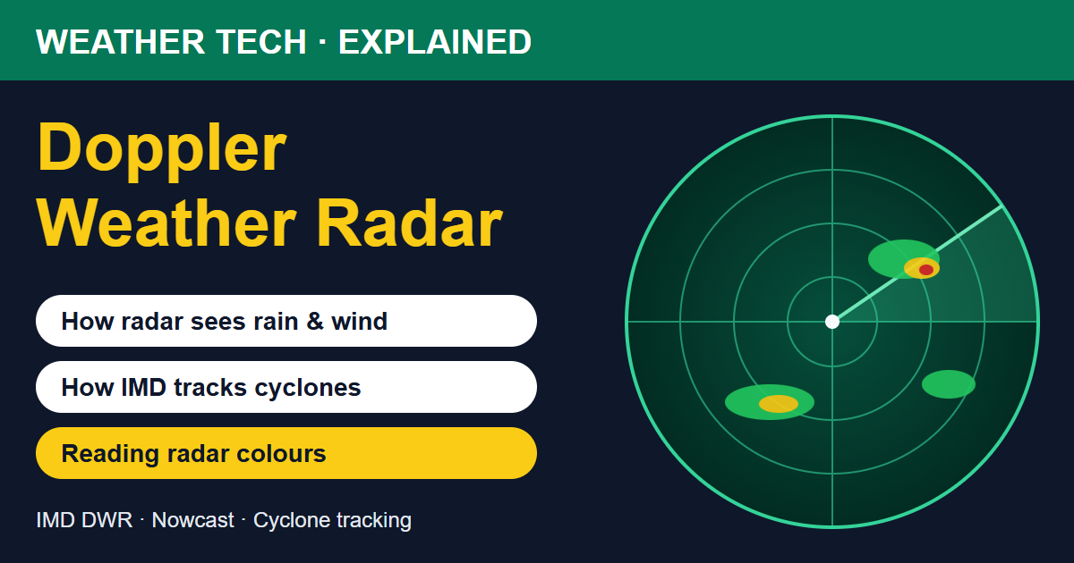
When a cyclone approaches India's coast, IMD's bulletins often include a line like this: "The system is under continuous surveillance of the Doppler Weather Radar at Gopalpur." That is exactly what IMD said about Cyclone Akvan on 20 November 2026, as it moved towards the north Andhra Pradesh and south Odisha coasts.
But what is a Doppler weather radar, and how does it help forecasters? This guide explains it in simple words, without the technical jargon.
What Is a Weather Radar?
RADAR stands for RAdio Detection And Ranging. A weather radar is a large dish antenna, usually protected inside a white dome on a tower, that keeps rotating and sends out short pulses of microwave energy. When these pulses hit raindrops, hailstones or snowflakes, a tiny part of the energy bounces back to the radar.
By measuring how long the echo takes to return, the radar knows how far away the rain is. By measuring how strong the echo is, it knows how heavy the rain is. As the dish rotates and tilts to different angles, it builds up a 3D picture of all the rain around it, usually every 10 minutes or so.
What Makes It a "Doppler" Radar?
You have heard the Doppler effect in daily life. When an ambulance races towards you, its siren sounds higher. When it moves away, the sound drops. The movement changes the frequency of the sound waves.
A Doppler weather radar uses the same idea with microwaves. If raindrops are moving towards the radar, the returned signal has a slightly higher frequency; if they are moving away, it is slightly lower. From this tiny change the radar works out the speed of the wind carrying the rain, towards or away from it. This is what makes a Doppler radar so useful: it sees not only where the rain is, but also how the air is moving inside a storm.
What Can a Doppler Weather Radar Show?
- Reflectivity: how heavy the rain or hail is, shown as colours on the radar map.
- Radial velocity: how fast the wind is moving towards or away from the radar. Two strong opposite flows side by side reveal rotation, as in a cyclone's eyewall or a strong thunderstorm.
- Rainfall estimates: how many millimetres of rain have fallen over an area in the past hour or day.
- Storm height and structure: how tall a thunderstorm is and where the heaviest core sits, which hints at hail and lightning.
- Newer dual-polarisation radars send pulses in both horizontal and vertical directions, which helps tell rain apart from hail or snow.
How IMD Uses Radar to Track Cyclones
Out at sea, satellites are the main tool for watching a cyclone. But satellite images show the cloud tops, not what is happening near the surface. Once a cyclone comes within about 400–500 km of a coastal radar, forecasters get a much sharper view:
- Exact centre position: the radar shows the eye and the ring of heavy rain around it (the eyewall), so IMD can fix the cyclone's centre within a few kilometres.
- Wind speeds: Doppler velocity shows how strong the winds are in the eyewall.
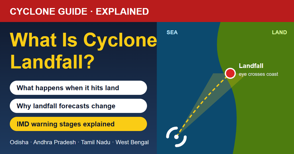
- Landfall timing: forecasters can see when the outer rain bands reach the coast and when the eyewall starts crossing land. Our guide on what cyclone landfall means explains this process.
- Frequent updates: radar images refresh every few minutes, so warnings for heavy rain and strong winds can be updated hour by hour.
IMD has radars along both coasts, including at stations such as Gopalpur, Balasore, Visakhapatnam, Chennai, Kolkata, Kochi, Mumbai and Bhuj. When a cyclone heads for the coast, the nearest radars watch it continuously, and neighbouring radars hand over as the storm moves.
Radar and Short-Term Warnings (Nowcasts)
Radar is not only for cyclones. It is the backbone of IMD's nowcasts, short-term warnings for the next 1–3 hours. When the radar shows a strong thunderstorm forming and moving towards a district, IMD can warn about heavy rain, lightning, gusty winds or hail before they arrive. Read more in our guide on how IMD nowcasts work, and about thunderstorms in what causes thunderstorms.
How to Read a Radar Image
Most radar maps, including IMD's, use a colour scale for reflectivity, measured in a unit called dBZ. The exact colours vary, but a common pattern is:
- Light blue / green: light rain or drizzle
- Yellow / orange: moderate to heavy rain
- Red: very heavy rain, often from strong thunderstorms
- Pink / purple / white: extremely intense cores, possibly with hail
A few tips:
- Look at a loop of several images, not one still image. The movement tells you where the rain is heading.
- A curved line of red moving fast often means a squall line with strong gusts.
- In a cyclone, look for the spiral bands and the clear hole in the centre, which is the eye.
What Are the Limits of Weather Radar?
- Range: because the Earth curves, the radar beam rises higher above the ground as it travels. Far from the radar it may overshoot low clouds or see rain that evaporates before reaching the ground.
- Blocking: hills and tall buildings can block parts of the beam, leaving blind spots, which is a challenge in mountain states.
- False echoes: ships, wind turbines, buildings and even birds or insects can show up as fake rain.
- Heavy rain fades the signal: very intense rain close to the radar can weaken the beam behind it.
That is why forecasters combine radar with satellites, surface weather stations, ships, buoys and computer models. You can learn how all these fit together in how weather forecasts are made.
Final Word
A Doppler weather radar is like a powerful pair of eyes that can see through clouds to the rain inside, and even feel the wind moving it. For a cyclone like Akvan, it helps IMD pinpoint the eye, time the landfall and warn coastal districts hour by hour. For everyday thunderstorms, it powers the short-term alerts that tell you to take cover. Keep an eye on the latest weather news and the hourly forecast for your town on TodayWeather.