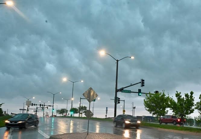
Kansas City Weather Alert August 19, 2026: The Kansas City region is facing an active weather threat as thunderstorms bring the potential for heavy rainfall, severe weather and localized flooding. The most concerning period extends from Tuesday night into Wednesday morning, when storms may affect residents while many people are asleep.
The combination of intense thunderstorms and heavy downpours could create rapidly changing road conditions. Residents across the Kansas City metro and surrounding communities should keep weather alerts enabled overnight and check local warnings before beginning their Wednesday morning commute.
Kansas City Faces Overnight Severe Weather and Flood Threat
The main concern is a round of thunderstorms moving through the region overnight into Wednesday morning.
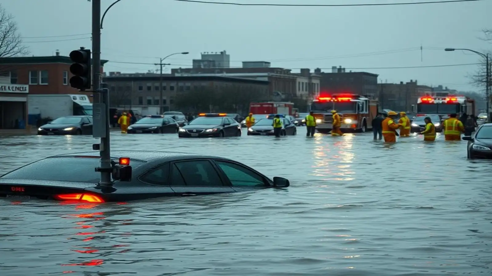
Heavy rainfall occurring over a short period can overwhelm drainage systems and create localized flooding, especially in low-lying areas, underpasses and locations with poor drainage.
The overnight timing makes the situation more important because some residents may be asleep when warnings are issued.
People in the affected region should make sure emergency alerts on their phones are active and audible.
Heavy Rain Could Trigger Localized Flash Flooding
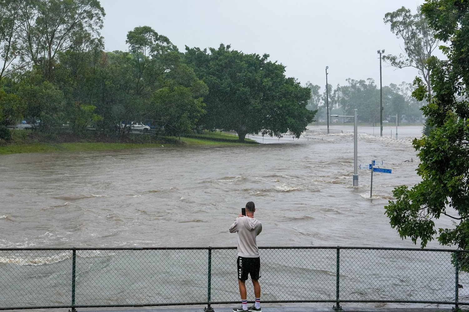
Thunderstorms capable of producing intense rainfall can cause water levels to rise quickly.
Flash flooding is particularly dangerous because conditions can deteriorate within minutes. A road that appears passable at the beginning of a storm can become unsafe after repeated heavy downpours.
Drivers should never attempt to cross a flooded roadway when the depth or strength of the current is unknown.
Wednesday Morning Commute Could Be Affected
The timing of the storms means Wednesday morning travel could face disruption in parts of the Kansas City area.
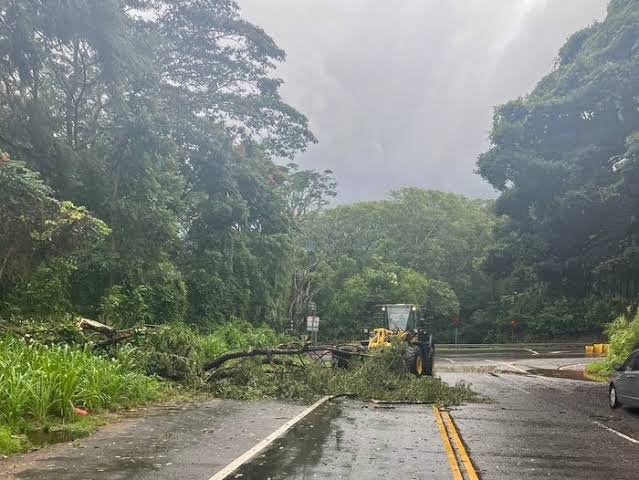
Heavy rainfall may reduce visibility, while standing water could make some roads difficult to navigate.
Drivers heading to work or school should allow additional travel time and check road and weather conditions before leaving home.
If a road is covered by moving water, turning around is considerably safer than attempting to drive through it.
Severe Thunderstorms Add Another Risk
Flooding is not the only concern.
The storm system also carries a severe-weather risk, meaning residents should remain prepared for rapidly changing conditions as thunderstorms move through the region.
Strong thunderstorms can produce hazardous conditions even in places that avoid the heaviest rainfall.
Outdoor plans should therefore be reconsidered whenever thunder is nearby.
Why Overnight Storms Require Extra Attention
Nighttime severe weather can be especially hazardous because people may not see approaching storms or recognize flooding until conditions have already deteriorated.
Anyone living in a flood-prone location should know beforehand where to move if a Flash Flood Warning is issued.
Residents should also avoid relying only on outdoor warning sirens. Mobile emergency alerts and local National Weather Service warnings provide important information when conditions change.
Midwest Has Already Faced Serious Flooding
The latest threat comes after significant flooding affected parts of the Midwest.
Indiana was among the hardest-hit areas in the preceding storm episode, where flooding caused deaths, infrastructure damage and displacement. Flood warnings remained in effect for some rivers even as water began receding in Indianapolis.
The broader situation highlights how repeated thunderstorms and saturated conditions can turn additional rainfall into a serious hazard.
Flooding Can Continue After the Rain Stops
One important point during major rain events is that the danger does not necessarily end when thunderstorms move away.
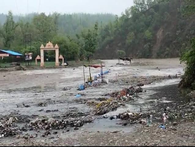
Rivers, creeks and drainage channels can continue rising after rainfall has ended, particularly when heavy rain has occurred upstream.
Residents should therefore continue following Flood Warnings and other official alerts even if conditions appear calmer locally.
What Is the Difference Between a Flood Watch and Warning?
A flood-related watch generally means conditions are favorable for flooding and people should be prepared.
A warning indicates flooding is occurring, imminent or considered a more immediate threat in the warned area.
Because warnings can cover specific locations rather than an entire state, residents should check alerts for their exact county or community.
Drivers Face the Greatest Risk on Flooded Roads
Road flooding remains one of the most dangerous aspects of intense rainfall.
Water can hide washed-out pavement, debris or damaged sections of roadway. Moving water can also be stronger than it appears.
Never assume that a familiar road is safe simply because it has been used during previous storms.
If barricades have been placed across a flooded road, drivers should not go around them.
How Kansas City Residents Should Prepare
Residents should keep phones charged and make sure Wireless Emergency Alerts are enabled.
People living in basement apartments, near creeks or in historically flood-prone neighborhoods should have a plan for reaching higher ground.
Vehicles should not be parked in locations known to collect water during intense thunderstorms.
Families should also have multiple ways of receiving weather information overnight.
What to Do During a Flash Flood Warning
If a Flash Flood Warning is issued for your location, take it seriously.
Move away from creeks, drainage channels and rapidly rising water. Do not walk or drive through floodwater.
If officials order an evacuation, follow the instructions immediately rather than waiting for water to enter your property.
People already in a safe location should avoid unnecessary travel until the warning expires or authorities indicate conditions have improved.
Storm and Flood Threat May Vary Across the Metro
Not every community will receive the same amount of rain.
Thunderstorms can produce very heavy rainfall in one part of the metro while locations only a short distance away receive significantly less.
That means a metro-wide forecast should not replace county-level or neighborhood-specific warnings.
Residents should monitor warnings for their exact location as storms develop.
Next Several Hours Are Important
The overnight period into Wednesday morning is the key window for the Kansas City region.
The primary concerns are severe thunderstorms, heavy rainfall and the possibility of flooding. Because some of the strongest weather could occur overnight, receiving warnings immediately will be particularly important.
Conditions can change quickly, so residents should rely on the latest local warnings rather than assuming an earlier forecast remains unchanged.
Flood Safety Tips
Disclaimer: This independent weather report is based on weather information available on August 19, 2026. Severe thunderstorm and flood conditions can change rapidly and may vary considerably by location. Residents should check the latest official local warnings before traveling or making weather-sensitive decisions.