Australia Flood Alert: Heavy Rain Hits Southeastern States
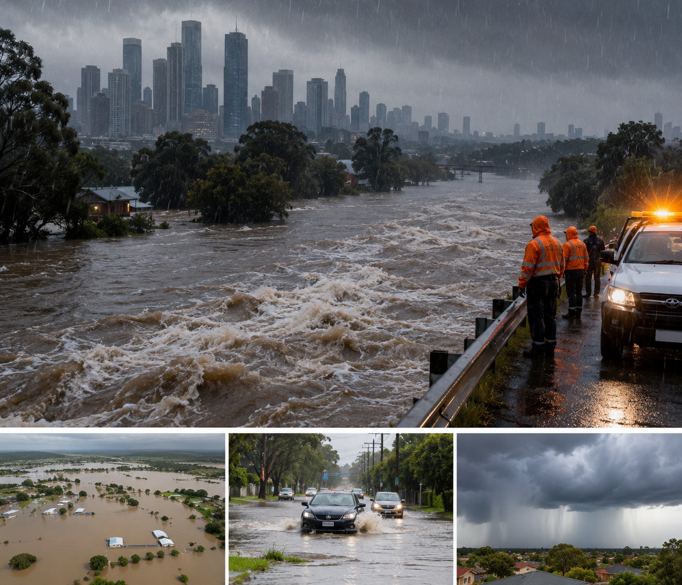
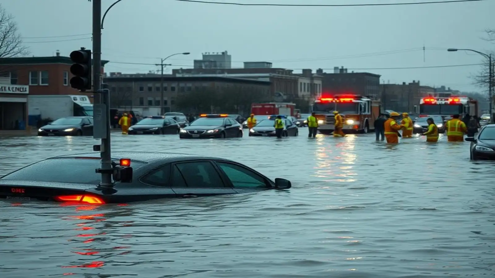
Australia Weather Alert: A powerful moisture-packed weather system has delivered widespread rain and strong winds across southeastern Australia, bringing flooding concerns to parts of Victoria and significant rainfall to South Australia, southern New South Wales and the ACT.
Victoria was among the hardest-hit areas. At least 13 locations in the state's northeast recorded more than 100 mm of rain in the 24 hours to 9 am on August 10, according to Weatherzone.
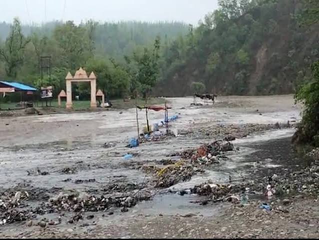
The heavy rainfall has pushed river levels higher and prompted flood warnings across several catchments.
Victoria Flood Warning: More Than 100 mm Recorded in Several Areas
Northeastern Victoria experienced some exceptional rainfall totals.
Among the notable 24-hour readings reported by Weatherzone were: Mt Buffalo Chalet – 165.6 mm, Handcocks – 159.0 mm, Strathbogie North – 129.0 mm, Wangaratta – 67.2 mm.
The 165.6 mm at Mt Buffalo Chalet was a record daily August rainfall total, while Wangaratta experienced its heaviest daily rainfall in more than eight years.
The extreme rainfall resulted in flood warnings for rivers draining parts of the Victorian Alps, including the Kiewa, King and Ovens river systems. The Bureau of Meteorology has also published a major flood warning for the Ovens and King Rivers.
Melbourne Weather: Wettest Day of 2026 So Far
Melbourne escaped the extreme totals recorded in northeastern Victoria, but the city still experienced a notably wet day.
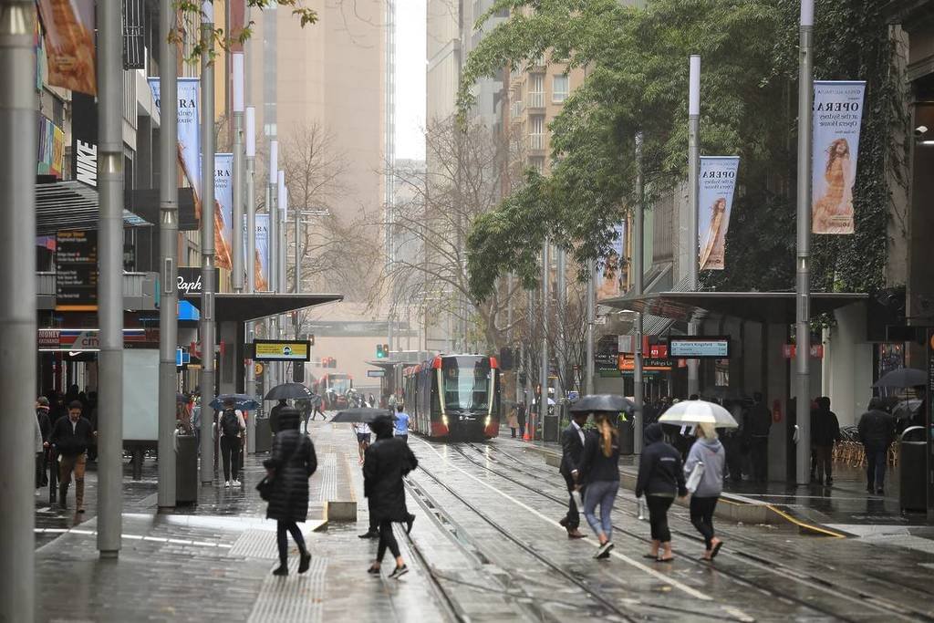
Melbourne recorded 24.4 mm in 24 hours, making it the city's wettest day of 2026 up to that point. Rain continued into Monday morning as the heaviest moisture gradually shifted eastward.
Residents should continue checking local forecasts because rainfall conditions can vary substantially between Melbourne and regional Victoria.
South Australia Rain: Adelaide Records More Than 26 mm
The same weather system also brought substantial rain to South Australia.
Adelaide received 26.4 mm in the 24 hours to 9 am Monday, taking its running August rainfall total to 52.2 mm.
Several locations outside Adelaide recorded much heavier falls, including 84 mm at Wirrabara Forest, 81 mm at Blinman, 70.6 mm at Coromandel East and 69.2 mm at Hope Valley Reservoir.
Strong winds accompanied the rain, with gusts exceeding 80 km/h at several South Australian locations.
NSW and ACT Weather: Heavy Rain Reaches Snowy Mountains
Rain also spread across large parts of New South Wales, with the heaviest totals concentrated in southern parts of the state.
Weatherzone reported 84 mm at Thredbo, 61.2 mm at Perisher Valley, 81.4 mm at Long Plain and 74.6 mm at Tooma Dam in the 24 hours to 9 am Monday. Bendora Dam in the ACT recorded 63.8 mm.
The system also produced powerful winds, including a 130 km/h gust at Thredbo Top Station on Sunday afternoon.
Why Is Flooding a Concern in Victoria?
When heavy rain saturates a catchment, additional runoff flows into waterways and causes river levels to rise. Australia's Bureau of Meteorology distinguishes a Flood Watch, which indicates riverine flooding may occur, from a Flood Warning, which means flooding is imminent or already occurring and action may be required.
After the latest rainfall, some Victorian river systems have already moved beyond a general flood-risk situation. The Bureau's warning for the Ovens and King Rivers indicates minor-to-major flooding concerns in affected locations.
Strong Winds Add Another Weather Risk
Rain was only one part of this severe weather system.
Weatherzone reported a peak wind gust of 130 km/h at Thredbo Top Station, while Mt Hotham in Victoria recorded a gust of around 120 km/h. South Australia also experienced gusts above 80 km/h at multiple locations.
Strong winds combined with saturated ground can increase the risk of falling branches and trees, creating additional hazards for motorists and communities.
What Happens Next?
The heaviest rain began shifting east after the main system crossed southeastern Australia. While showers were continuing across a broad area, most locations were seeing lighter rainfall than during the peak of the event.
Gippsland remained an exception, with steady rain continuing as winds circulated around a low centred over eastern Bass Strait.
Conditions and flood warnings can change quickly, so residents should check the latest local information rather than relying on an earlier regional forecast.
Flood Safety: What Residents Should Do
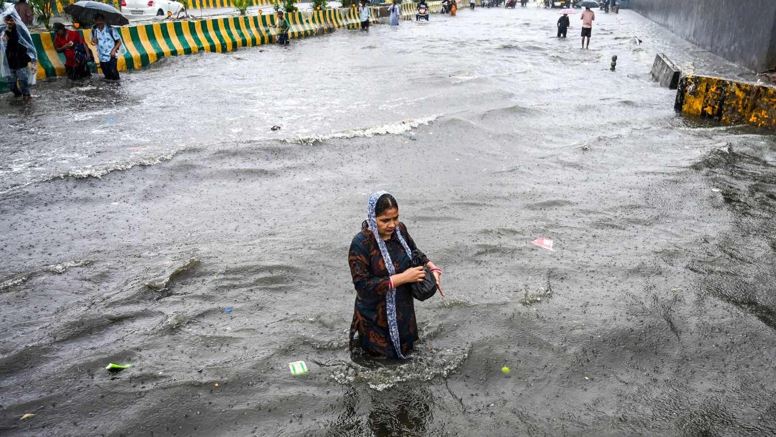
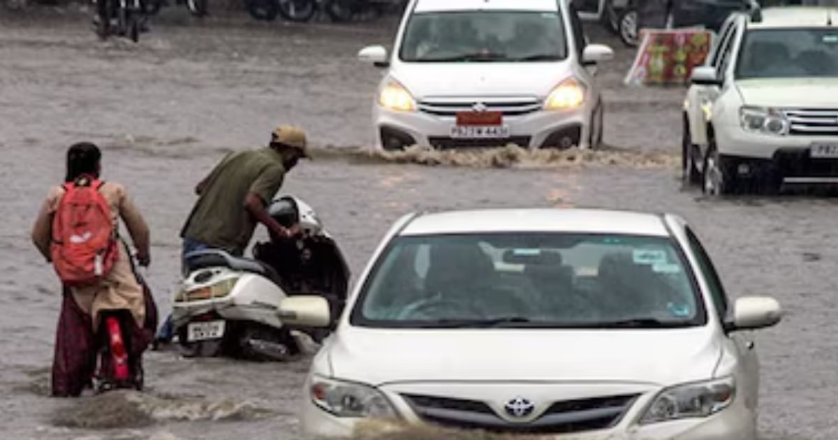
People in flood-affected areas should avoid driving, walking or cycling through floodwater and pay close attention to local emergency instructions.
The Bureau advises that a Flood Warning means flooding is imminent or already occurring, and people should take action according to local emergency-service advice.
Residents in Victoria can monitor the latest official warnings through the Bureau of Meteorology.