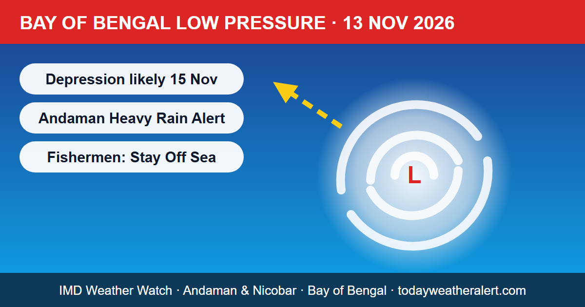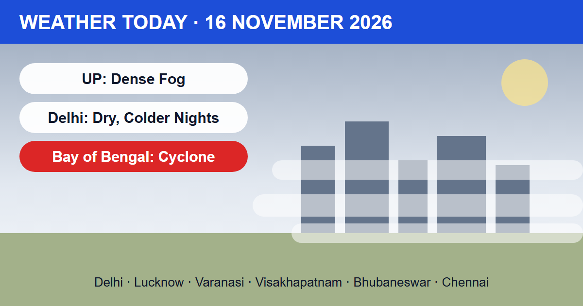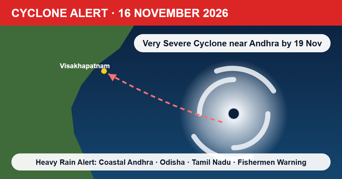
Cyclone alert, 16 November 2026: The deep depression over the southeast and adjoining southwest Bay of Bengal is set to become a cyclonic storm this evening, the India Meteorological Department (IMD) said in its morning bulletin. IMD expects the system to keep strengthening as it moves north-northwest, and to reach the west-central Bay of Bengal near the Andhra Pradesh coast around the night of 19 November as a very severe cyclonic storm. Coastal Andhra Pradesh faces extremely heavy rain on 19–20 November. Odisha, Tamil Nadu and Puducherry are also on alert.
Where Is the System Now?
At 05:30 IST on 16 November the deep depression was centred near latitude 11.0°N and longitude 86.5°E. It moved north-northwest at about 8 km/h over the previous six hours. IMD placed it about:
- 720 km east-southeast of Chennai (Tamil Nadu)
- 820 km south-southeast of Visakhapatnam (Andhra Pradesh)
- 940 km south of Gopalpur (Odisha)
- 680 km west of Sri Vijaya Puram (Andaman & Nicobar Islands)
IMD Cyclone Forecast: Day-by-Day Track
- 16 November (evening): Likely to become a Cyclonic Storm over the central parts of the south and adjoining west-central Bay of Bengal.
- 17 November (evening): Likely to become a Severe Cyclonic Storm over the west-central Bay of Bengal.
- 19 November (night): Likely to move northwest and reach the west-central Bay of Bengal near the Andhra Pradesh coast as a Very Severe Cyclonic Storm.
A very severe cyclonic storm has sustained winds of 118–166 km/h. IMD has not yet said exactly where or when the system will cross the coast. That will become clearer over the next 48–72 hours, so follow official IMD and state disaster-management updates rather than forwarded messages on social media.
Andhra Pradesh Weather: Extremely Heavy Rain Alert for 19–20 November
- 18 November: Isolated heavy rainfall over Coastal Andhra Pradesh & Yanam, with thunderstorms and gusty winds of 40–50 km/h.
- 19 November: Fairly widespread to widespread rain. Heavy to very heavy rainfall at a few places, with isolated extremely heavy rainfall.
- 20 November: Heavy to very heavy rain with isolated extremely heavy falls continues over Coastal Andhra. Heavy rain is also likely in Rayalaseema (19–20 November) and Telangana (20 November).
Visakhapatnam is warm and dry for now, with highs of around 30°C. Weather models show conditions turning sharply from 19 November: day temperatures drop to around 24–25°C as rain bands arrive, and two-day totals could exceed 70–80 mm. The live weather card above shows current conditions and the 8-day forecast for Visakhapatnam.
Odisha Weather: Very Heavy Rain and Thundersquall from 19 November
- 18 November: Isolated heavy rain and thunderstorms with gusty winds.
- 19–22 November: Fairly widespread to widespread rain, with heavy to very heavy rainfall at isolated places.
- Thundersquall with winds of 50–60 km/h, gusting to 70 km/h, is likely during 19–22 November.
Bhubaneswar is expected to cool from around 30°C to around 23–24°C on 19–20 November once the rain arrives.
Tamil Nadu and Chennai Weather
- 17 November: Isolated heavy rainfall over Tamil Nadu, Puducherry & Karaikal.
- 18–19 November: Heavy to very heavy rainfall at isolated places.
- 20 November: Isolated heavy rainfall, with thunderstorms and gusty winds of 40–50 km/h during 18–20 November.
Weather models show Chennai's heaviest rain on 19 November, with temperatures near 29–30°C by day and 23°C at night.
West Bengal, Jharkhand, Chhattisgarh and the Northeast
As the system's moisture spreads north, IMD expects isolated heavy rain over Gangetic West Bengal (19–20 November), Jharkhand (20–22 November) and Chhattisgarh (20–22 November). Mizoram and Tripura may also see isolated heavy rain on 19 November.
Fishermen Warning and Sea Conditions
Winds over the sea will build steadily. Over the central Bay of Bengal they may reach 120–130 km/h gusting to 145 km/h from the morning of 18 November. Sea conditions there may turn "very high to phenomenal" from 19 November. Fishermen are advised not to go out to sea in:
- Andaman Sea and Southeast Bay of Bengal: till 17 November
- Southwest Bay of Bengal: 16–19 November
- Central Bay of Bengal: 16–20 November
- Northwest Bay of Bengal: 19–20 November
Those already at sea should return to the coast immediately.
Expected Impact
- Branches may break and small trees such as banana, papaya and drumstick may be uprooted. Plantations and standing crops may be damaged.
- Kutcha houses, huts and weak structures may be partly damaged, and loose objects may be blown around.
- Low-lying areas may see waterlogging, flooding and local landslides. Road and rail traffic may be disrupted.
- Small ships, trawlers and boats are at risk, and helicopter services may be affected.
Advice for Farmers
- Coastal Andhra Pradesh: Harvest mature rice, cotton and vegetables, and ripe banana and papaya, right away and store them safely. Clear drainage channels in pigeon-pea and vegetable fields.
- Odisha: Harvest mature rice and vegetables and store them under cover. Drain standing water from rice fields, nurseries and newly sown mustard, groundnut, green gram and black gram.
- Tamil Nadu: Harvest mature rice and groundnut and keep the produce dry.
- Keep livestock indoors during heavy rain and store fodder where it will not spoil.
What Should You Do Now?
- Charge phones and power banks, and keep a torch, medicines, drinking water and important documents ready.
- Tie down or bring in loose objects such as tin sheets, pots and signboards.
- Avoid travel to beaches and coastal roads from 18 November, and follow evacuation orders if they are issued.
- Do not shelter under trees during thunderstorms, and unplug appliances when lightning is expected.
For a full checklist, read our guide on cyclone safety tips, and check the hourly forecast for your city or village on TodayWeather. We will update this page as IMD issues new bulletins.